AI Helps Seafarers Avoid Hitting Atlantic Whales
Researchers are using machine learning to develop a probability map from data bases to help shipping avoid areas where endangered whales may be present.
Many eco tourists hire boats with the prime intention of spotting whales and dolphins, but a new artificial intelligence tool has been programmed to steer shipping well away from any endangered species. As there is currently no underwater ‘whale-specific sonar’ the system works by collating information from two huge databases and then creating a map of where the whales are likely to be at any one time. Ships can access these co-ordinates steer around them to avoid any fatal impacts.
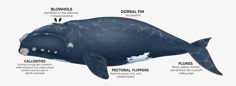
Of most concern is the North Atlantic Right whale, listed as endangered in 1970 and of which around 350 individuals remain. Of those, only 50 of those are thought to be reproductive females, so conservationists are very keen to prevent any whale fatalities from collisions with ships or yachts.
Helping them achieve this aim are researchers from Rutgers University in New Brunswick, who say they have developed a computer programme that improves upon the current methods for monitoring whale migrations. The programme has been likened to one that would track the movements of people in a house, comparing the time of day with environmental locations, such as the location of the kitchen or a TV set. The same approach is being used to analyse environmental conditions to find the area and time frame most likely to contain whales.
Heading the research is assistant Professor Ahmed Aziz Ezzat, who is working with Josh Kohut, a professor in marine sciences. In January, Kohut became dean of research at the School of Environmental and Biological Sciences.
“With this program, we’re correlating the position of a whale in the ocean with environmental conditions,” Kohut said. “This allows us to become much more informed on decision making about where the whales might be. We can predict the time and location that represents a higher probability for whales to be around. This will enable us to implement different mitigation strategies to protect them.”
Autonomous underwater ‘glider’ probes are being used to measure many different aspects of seawater, including temperature, salinity, current strength and chlorophyll levels. The gliders also bounce sound waves off schools of fish to gauge their size and record the underwater calls of whales and other marine mammals, locating them in time and space. This data is then analyzed to help the AI create a probability map.
“We’ve had the data but, until now, we’ve not been able to put the two sets together, namely those detections of where the whales are, and what the environment is like at those places,” Kohut said. “This is a demonstration of the power of employing AI methodologies to advance our ability to predict or estimate where these whales are going to be.”
The research was originally intended to help with wind farm management but has since been extended to cover ocean conservation.