Arctic by RIB - Episode 7 Dangerous Passage to Greenland
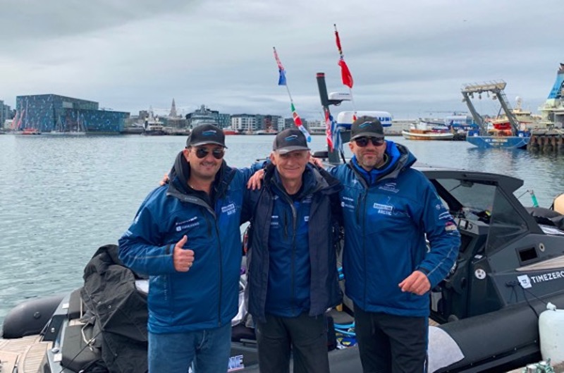
Things had not gone well for our schedule since we arrived in Reykjavik, Iceland, but with the rest of the team—my dearest friends-- meeting up with me there for the jump to Greenland, I felt regenerated.
It was like I was starting a new trip—albeit one that would take us through some 650 nautical miles of cold, stormy ocean in a rigid inflatable boat.
After many days of waiting, we’d be at sea again in our quest to travel the Northwest Passage and document Arctic warming. The long-awaited weather window that I had been anxiously looking for to make the long passage to Greenland had come.
The barometric low forming at the southern tip of Greenland was heading east and was passing under Iceland without affecting our chosen course. But we only had about 51 hours to go. After that, according to Windy's forecast, (a wind and weather app) a new low would form just under the southern tip of Greenland which would produce 30 knot winds that we would have directly on our bow.
I now had absolute confidence in Windy's predictions since I checked it every time we sailed and it was always very accurate.
So, apart from the general anxiety of the long passage, I also had the anxiety of the time that seemed to be limited.
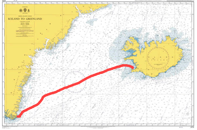
Day 19th / Thursday, July 21, 2022
Time 12:15΄
We made a course of 257 degrees to Prince Christian Sound, a few miles before the southern Cape of Greenland. We left the port of Reykjavik behind and set off to cover 650 gray and cold nautical miles.
Displacement Speeds
For many hours we would travel at just 8 knots so as to increase our range far enough to reach our planned fuel stop. It was the only way we could manage to reach our destination. I had already prepared myself that our purpose on this leg was not to make good time but to cross the ocean without running out of fuel.

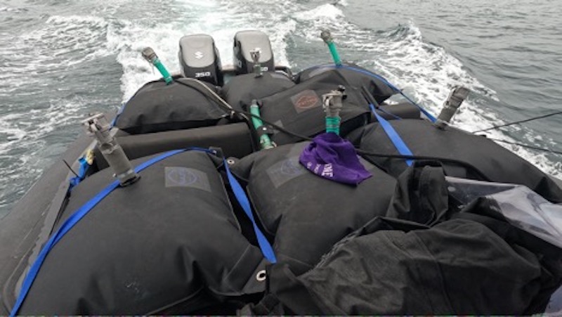
We were heavily overloaded with flexible fuel tanks all around. We had 2,000 liters (528 gal.) in tanks of 70 to 500 liters (18.5 to 132 gal.) capacity.
As we rocked in the seas they pulsed rhythmically either at the stern or at the bow of the RIB, where ever we put them. It was something that certainly did not make us feel comfortable as it was extremely dangerous.
However, there was no other option.
Time 14:15΄ Day 19th / Thursday, July 21, 2022
Position: 64°07'N 22°27'W
The weather was cloudy and the swells were big—pretty much what we expected. But my concerns were directed at the fuel consumption and making range calculations. At 1850 rpm and 8 knots on the twin Suzuki outboards, fuel consumption was 3 liters (.79 gal.) per nautical mile or a little less.
I saw that my calculations were being verified despite the fact that we were slowly chugging along the tops of the smooth but tall waves. Of course, two full hours had passed and we still hadn't gotten out of Reykjavik Bay. But I didn't even want to think about that.
Time 19:15΄ Day 19th / Thursday, July 21, 2022
Position: 63°54'N 23°48'W
.74 MPG in Open Sea
We had already been at sea 7 hours. Big swells kept coming on our starboard bow but our course and especially our consumption remained stable. This filled me with confidence and I could now see that we could succeed.
We covered 53 nautical miles and burned 149 liters (39.4 gal.)
2.8 liters (.74 gal.) for every nautical mile. We owe this accuracy in our measurements to Furuno's autopilot which kept us firmly on our course despite our very low speed and the wind, waves and currents.
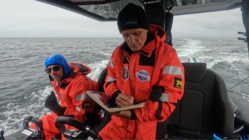
Every couple of hours I bent over the deck-diary and updated it on our progress. It's something I get used to on long passages because, first of all, I think it's necessary for our safety, but at the same time it's also a wonderful habit, helping to pass the time in the vast solitude of the ocean.
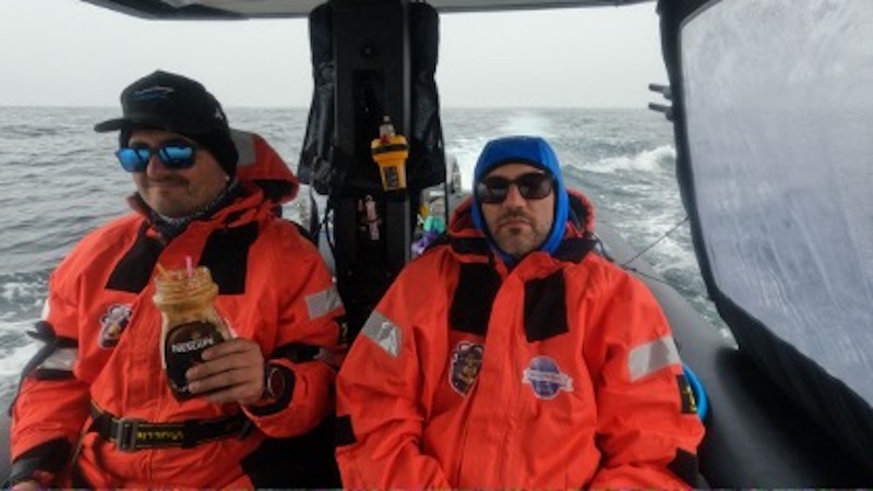
Day 20 / Friday 22 July 2022
Time 00:15΄
Position: 63°39΄N 25°10΄W
Our course was steady although some short waves on the crests of the swells created some slop. It was past midnight but not quite dark yet. We had as much light as was necessary to navigate safely. But the sky was completely dark due to the black clouds that covered it from end to end.
Only to the north was there a crack of light, like a sunset in the general blackness. But it was enough to keep us company and to keep our spirits up. We covered 92 nautical miles and burned 258 liters (68.2 gal.0 of fuel. Our consumption was now stable at 2.8 (.74 gal.) liters per nautical mile.
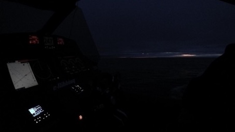
The ocean's unpredictability was soon to prove itself once again. The truth is that the more experience one has, the more insecure one feels. Because he knows all too well from past experiences how easy it is to screw anything up.
Nothing is certain at sea and everything is possible, no matter how carefully preparation has been done. The risk we take every time is huge and we know it very well. But I tried to bury the insecurity and soak up every exciting moment that the open ocean gave us.
Time 12:15΄ Day 20 / Friday 22 July 2022
Position: 63°04΄N 28°17΄W
Everything looked fine. The engines ran smoothly and our boat was doing fine. Friday was going great just as the weather forecast indicated. The ocean owed this to us.
It was the first time in many days that she has done us a favor. Of course, we still had many miles ahead of us. At our speed of 8 knots the route seemed endless. Determination and patience are the secrets to being able to survive long hours on the ocean.
And there really are many beautiful ways to fill the endless sailing hours.
Remembrances of Things Past
Apart from the RIB's log that keeps you company, you have unlimited free time which has become so expensive in our daily life. You have time to converse with yourself, perhaps to philosophize about life itself in general.
I had the luxury of reminiscing and chatting in my memories for hours with dear friends who passed away prematurely. We had a really great time with Alexander, Thanasis, Giovanni reliving wonderful memories. I had in part dedicated the mission to them and I was now there, at the end of the world, traveling with them.
Hot Beds in the Cabin
The good weather conditions allowed us to sleep in two-hour shifts in the cabin. When one of the three of us was sleeping, the other two were in the cockpit focused on the instruments and the boat's course. With the exception, of course, of Cris who, as co-pilot, often "stole" some added hours of sleep.
We had been underway 24 hours, covering 184 nautical miles and burning 496 liters (131 gal.). The average liters per nautical mile dropped even further to 2.7 (.71 gal.) I was very happy that everything was going as planned. I was no longer bothered by the thick fog that covered everything around us.
We still had 2400 liters (634 gal.) for the remaining 564 nautical miles to Nanortalik where we would refuel according to schedule. I could have increased our speed now, but I didn't—a reserve is always a good thing at sea.
DAY 21st / Saturday, July 23, 2022
Time 00:15΄
Position: 62°26΄N 31°24΄W
We were entering our third day of navigation across the Atlantic Ocean. And we weren't even half way across. About 36 hours had already passed and we had covered just 278 nautical miles burning 775 liters.

There were still 372 miles to approach the land. It was time to put the boat on plane and make some speed. All indications were that, at cruising speeds in excess of 30 knots, we could easily cover the remaining distance before noon, after which the weather was forecast to deteriorate.
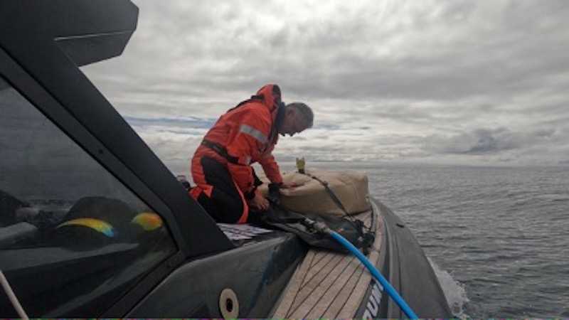
It was time to drain the tanks that were on the cabin roof because from now on we were going to develop high cruising speeds. However, these transfusions were particularly time-consuming.
I had not correctly calculated the long delay of pumping fuel from the bladders to the main tank. And we were about to be punished very harshly for it. We opened the throttles and the boat leaped up on plane.
Although sleepless and exhausted from the fuel transfers, we were running at 35 knots in a race to catch the low that was developing under the southern tip of Greenland. It would give strong winds after noon which would actually find us on our bow.
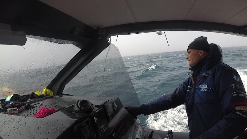
In the early afternoon we managed to get within about 70 miles of our destination. But it was too late. The weather caught us.
We entered thick fog with the wind raging. The waves pounded our bow mercilessly, lifting it several meters high. I slowed to 20 knots and attempted to find an easy route. However, the short wave-period did not allow us to travel a straight route.
The fog was so thick I couldn’t make out the crests of the waves that were furiously breaking on our bow.
Green Water Aboard
Some of the seas washed over the top of the cabin, plunging into the cockpit behind us. Moreover, we had already entered the iceberg zone. What was waiting for us out there in that fog?
We turned on the radar and reduced speed back to 8 knots. The ocean was once again showing us one of its worst faces. We had no choice but to grit our teeth and continue towards land.
Suddenly, just a few meters to our right, I saw a small mass floating. It was a transparent piece of ice, about two square meters, visible on the crests of the waves, then lost in the deep gullies.

Though we knew we were heading into an area where ice would be a danger to the hull and the running gear, the shock was huge.
A few minutes later just to the left of our bow, on the crest of a wave about to break, a long and transparent piece of ice in the shape of a five-meter dugout emerged from the fog and came sailing by us. Conditions had now become very dangerous.
But we didn’t realize just how dangerous things were soon to get.
Tomorrow -- Greenland Ice Field
IF YOU HAVE MISSED ANY EPISODES OR WOULD LIKE TO SEE MORE CLICK HERE.