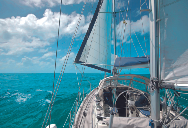
Crossing the Caicos Bank
The Caicos Bank is an almost circular atoll, 60 miles across at its widest point, approximately 1.8 to 3.8 meters/6 to 12 feet in depth and peppered with reefs and coral heads. For this reason you must cross in good daylight. Don't tempt fate by heading straight into the sun, particularly when it is low in the sky. Slower vessels may not be able to cross the Caicos Bank in a single day. There is no particular problem in that. Just anchor out. It is a weird and wonderful feeling to anchor for the night out of land sight, far from the glow of shore lights on the water. If you have no moon, the stars are fantastic.
You might think of splitting the distance between French Cay and West Caicos and exiting somewhere near there. Look carefully at the charts. There are reefs along that stretch including Molasses Reef, the site of the oldest discovered shipwreck in Turks and Caicos. It is worth the effort to visit West Caicos. The snorkeling and diving off the west end is superb and the beaches on the east coast are picture perfect.
South Caicos is a good starting point for the Dominican Republic, Puerto Rico and the Virgin Islands but it is short on facilities. Northbound from the Caribbean, unless you particularly want to put in to South Caicos or decide to clear in there (which you can do), you will probably join the majority of cruisers who continue on to Providenciales.
Navigation When Crossing the Caicos Bank
When crossing the Caicos Bank from Providenciales to the Turks Island Passage, the Caicos Bank waypoint is the best way to go. It runs through shallows and a reef lying in the middle of the Caicos Bank around N 21° 36.000'/W 072° 05.000'. It is a rather grand name for water that is average Caicos Bank depth and runs between two even shallower and more hazardous areas. One way or another this effectively dictates that your Bank transit will be taken as two or more legs because the alignment of this channel fails to match up neatly with every Bank transit course.
Anchorage
If you are going to spend the night on the Caicos Bank, anticipate where you will be at the time you want to anchor. Cruisers have spent comfortable nights in 3.7 meters/12.5 feet of water close to N 21° 30.000'/W 072° 00.000'.\
![]()
No-Go Area:
There are three areas that are only for exploration in a shoal-draft vessel:
- The full run of the northeastern segment–the Caicos Bank bordering North Caicos, Middle Caicos and East Caicos all the way to South Caicos. There is a shoal-draft route from Leeward Going Through to South Caicos used by local craft but it serves no use to the cruising yacht. You would likely regret the attempt.
- The whole sector south of the Ambergris Cays centered on the Seal Cays. Explore it if you wish and are prepared for it but don't try to go straight through the middle of it when heading from the Caicos Yard to Luperón.
- The edge of the Caicos Bank running southeast from French Cay. It is largely unsurveyed but may offer superb routes on and off the Bank, brilliant fishing and diving and even fair-weather anchorages.
There is one more area that begs your attention: The shoals and coral in the center of the Caicos Bank around N 21° 35.000'/W 072° 05.000'. It is not a "no-go" area but it is an area where, if you don't take the Pearl Channel and try to work your way around the shallower water, you could find trouble. You can bypass it but the simplest and best transit route is to take one central waypoint right in the channel and go that way.