The Danger of Satellite Navigation: Keep Basic Skills Sharp
Since the GPS first appeared, more captains have begun to become indifferent to ignored traditional nautical instruments such as the compass, the divider and the parallel ruler. Their commitment to the electronic "magical" box, which gives us information about everything, is so big that the compass is now a romantic and yet decorative element of boats. This could create a new danger as captains hide behind blind trust in satellite navigation.
Don’t Forget the Fundamentals
When the first GPS satellite was launched in 1974, new roads in navigation opened. The GPS system now permits accurate geographic location with an error of only a few feet and lets us measure distances or find out our route just with the touch of a button.
Obviously we should not ignore the new technology. It provides a sense of security and can help in an emergency situation. On the other hand, we should not depend solely on GPS. We should use it as an additional source of information.
What are we supposed to do in a dangerous situation when we need to transmit "Mayday," and the GPS containing all our information suddenly stops working? How is it possible to call for help or plan a new route while you are in the middle of the sea without knowing your position?
Old-School Navigation
-
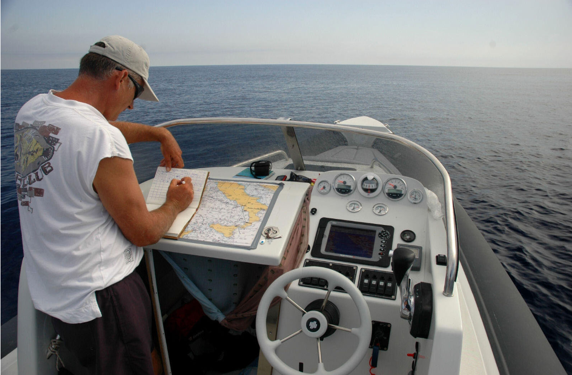
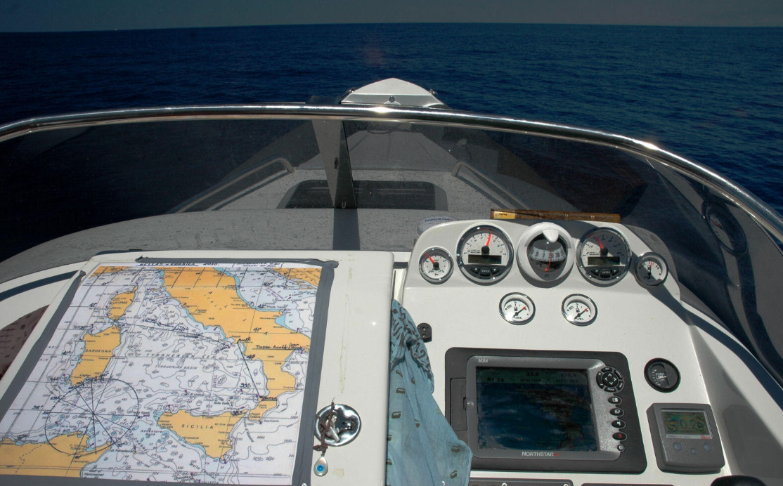
Waterproofing the chart of the area you will be traveling and having it available at all times is a start. Using the chart, we can keep track of information relating to our trip.
- Mark your position on the chart often without copying it from the GPS. This can be picked up by knowing the degrees on the compass and the time of your departure, taking care to keep your speed steady throughout the trip.
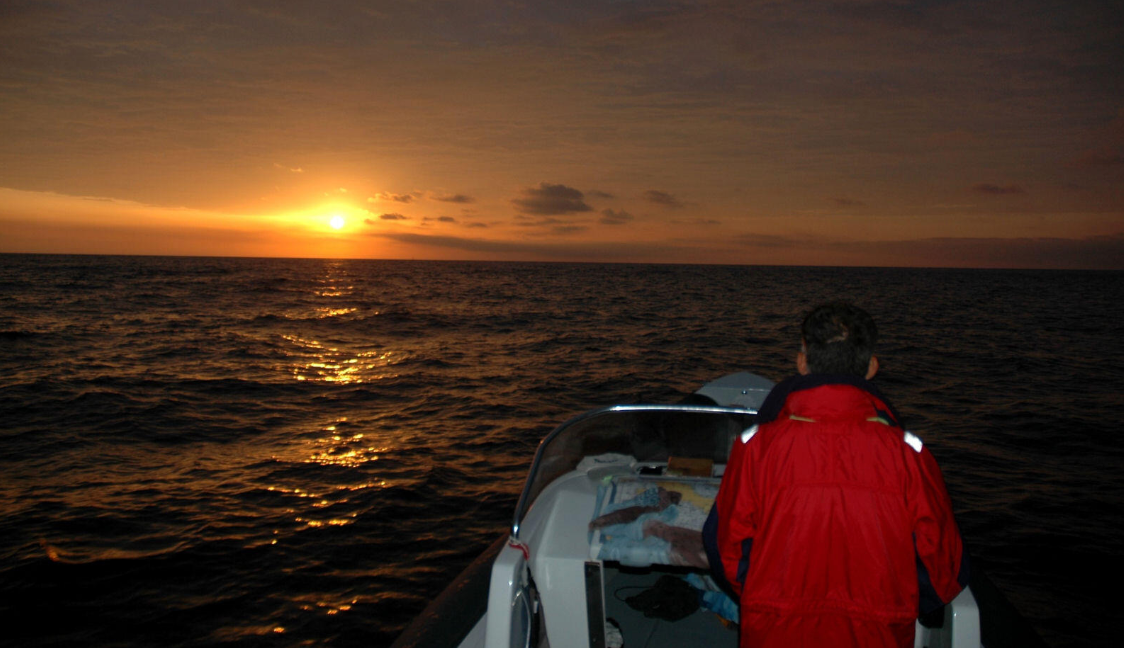
Using fundamentals, you can determine your position and change your course if circumstances require doing so. When you head out to the open ocean, you are in another world where you are all alone. Whatever happens, you must face it alone.
So, let the GPS "decorate" your cockpit. Use the information that it provides us to make your life easier, but keep your fundamental skills sharp as well.
The knowledge of traditional navigation techniques is vital. Each boat that heads offshore, there should always be a parallel ruler, a divider, a nautical chart and a compass. The more we know about the traditional techniques of navigation, the more secure and capable we feel.
Traditional navigation techniques were based on the relative position of the sun, moon and stars. Captains determined their latitude by measuring the sun's angle over the horizon at noon, while at night they found true north from the stars that rotate around Polaris.
Always remember that the major requirement for any navigational decision is knowledge of your present position. We cannot determine a direction to follow until we know where we are starting from.