Entering Harbor
By Dag Pike
Firstly, you have to find the entrance, which sounds easy when you have GPS as your guide but can be more difficult than you would expect. Harbor entrances are not always easy to pick out against the land, particularly if the sun is rising or setting behind the land. There may be a fairway buoy that marks the entrance and your GPS should guide you to a point close by, which will give you a reference point to work out where the channel goes from there.
When you are entering a new harbor, the navigating mainly comes down to planning. You need to work things out beforehand so that when you actually enter the harbor you have the resources to cope. You should have an idea of what you will be looking at visually and the electronic chart can provide that essential check.
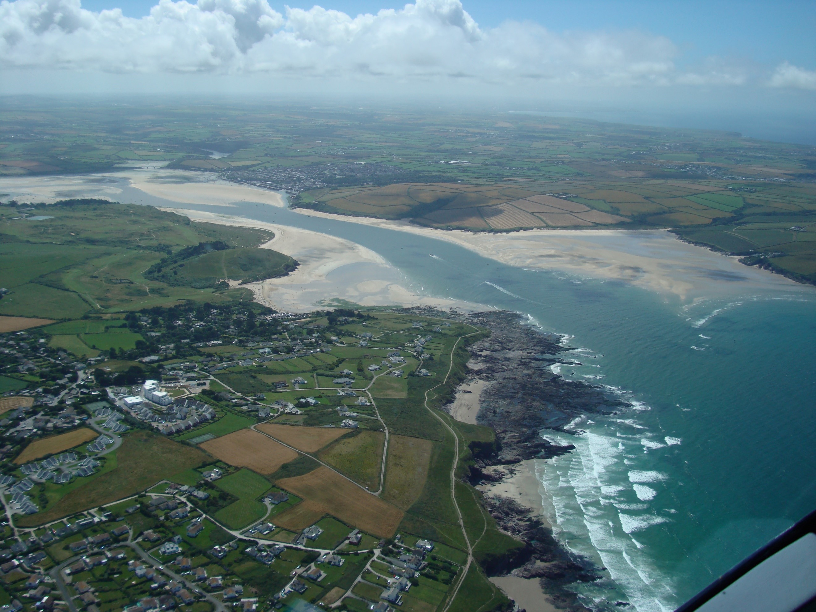
Looking harbors up on Google Earth before arrival can also give you a good idea of what to expect. You must be prepared for the change in navigation techniques that moving from the wide, open sea to the narrow confines of the harbor can bring. These confines also apply to the depth of water under your keel and in your planning, you will want to know what the tide is doing.
Conspicuous marks can be of great use in guiding you into a harbor; look out for anything that is marked on the chart that could give you a clue. One of the advantages of the paper chart is that many conspicuous features such as tall chimneys, church spires and large buildings are marked in harbor areas because they serve as features that could be used to obtain a compass bearing. If electronic charts are in raster format, i.e. direct copies of the paper chart, you can still find these conspicuous marks, but with many vector format electronic charts many of these marks have disappeared.
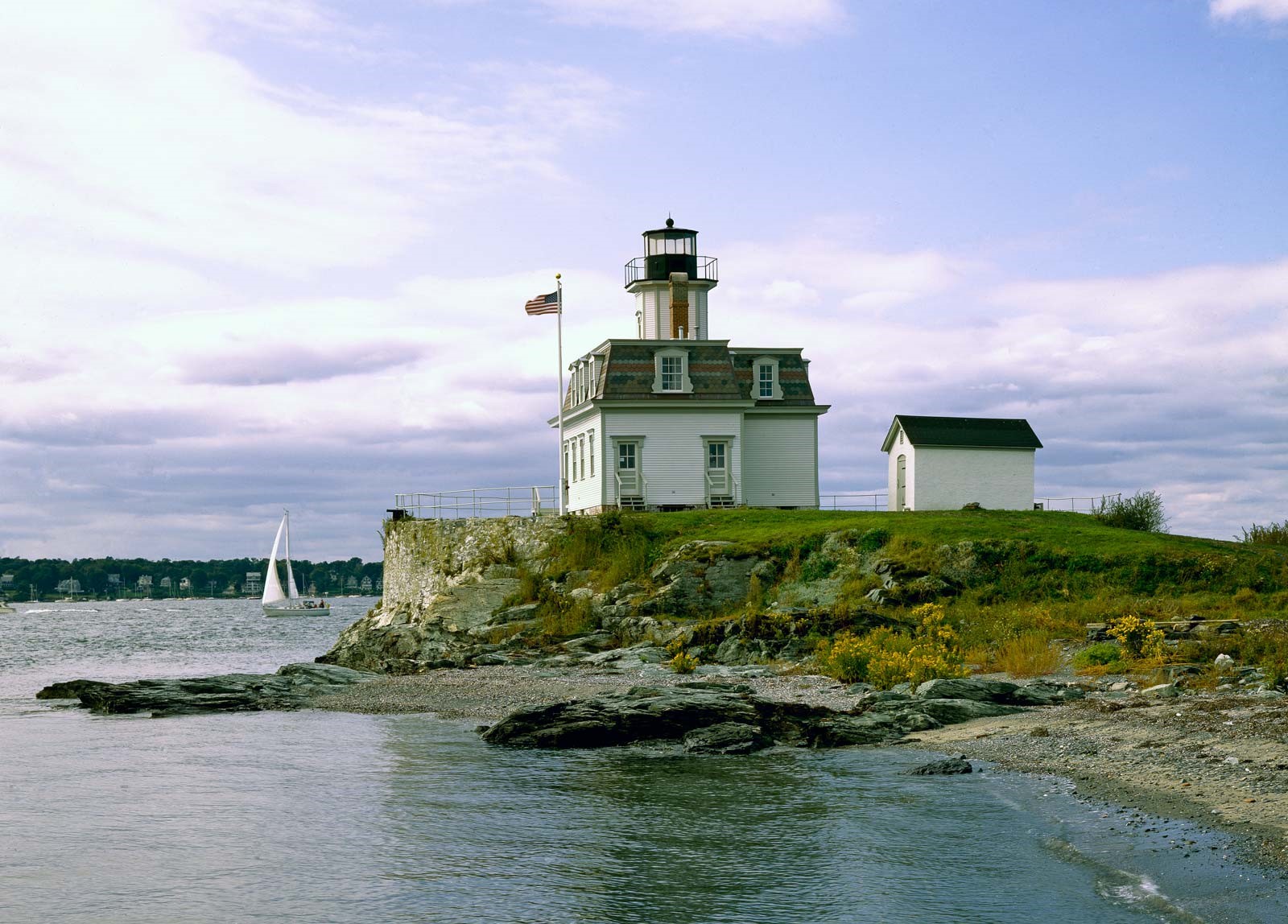
Even with paper charts, you need to use any labeled conspicuous features with a bit of caution. Charts do not always keep up to date with new buildings and whilst at one time there may have been just one tall building in the harbor area, several more might have been built in the meantime; a church spire might now be hidden behind new buildings along the waterfront and even chimneys get demolished. More permanent marks are likely to be lighthouses on the end of piers but even these can be hard to spot against a background of shore buildings.
Depth is another helpful tool when heading towards the land. As a general rule, the closer you get to land the shallower it gets but don’t rely on this implicitly. Your harbor entrance may have a deep-water channel that has been dredged to allow big ships to enter and cliffs can sometime descend directly into quite deep water. Therefore, even with GPS leading the way, it does make sense to have the echo sounder on when approaching a harbor as an important secondary check.
Having located your harbor entrance or fairway buoy, you might want to assess what the conditions in the entrance are likely to be - particularly if the wind is blowing in. An onshore wind combined with an ebb tide can make for nasty conditions in a harbor entrance, particularly if there is a shallow bar across it. Coming in from seaward you might not be able to clearly see the breaking waves on the bar until you are very close, so it could be a good idea to get a check on the conditions by using the radio to contact the harbor master.
Even in harbors where there is a stone breakwater protecting the entrance, you can find patches of rougher seas around it, created by the waves reflected back from the vertical walls of the breakwater. Both of these scenarios can come as a bit of a shock just as you think you are entering the safety of the harbor after what may have been a lively passage out at sea. When entering harbor, do not relax until you are safely mooring up.
The electronic chart can help a lot. GPS has a reliable accuracy of possibly around 20 meters which should be enough to plot your position accurately enough all the way into harbor but there are things you need to consider before relying on GPS positioning in this way. Firstly, how accurate do you need the positioning to be in the particular harbor you are entering? In many harbors the margins can be quite tight and whilst 20 meters sounds accurate it may not be sufficient, particularly when you need to allow some margin of safety outside that 20 meter variation. Then there is the matter of the accuracy of the electronic chart that you are using to plot the position.
Electronic charts do not tend to get updated at regular intervals. This can cause issues in harbors, where the channels can change over the years. The harbor authorities adapt to changes by moving buoys around so that they continue to indicate the channel, but these changes may not have been added to your chart. The same issue can arise with the features along the shore in a harbor, where changes such as new piers, marina developments and jetties may occur. Electronic chart producers aim to get as much up to date information as possible but, whatever they do and however often you update your chart, it will always be out of date. Visual navigation is, therefore, key to safe navigation.
GPS should be accurate enough to get you to the fairway buoy at a harbor entrance. but think carefully about entering if you do not actually see the buoy. At a certain point visual navigation must take over. If you do plan to use GPS to help navigation in a harbor, then try to visualize it as a circle of position in which the boat may lie. A 20 meter radius circle should be enough given the assumed accuracy of GPS but remember that in harbors you can be close to land, which is where those GPS jammers used by truckers may be operating, so be prepared for temporary GPS outages. Essentially, although GPS is a great help, harbor navigation continues to rely heavily on visual navigation and prior planning.
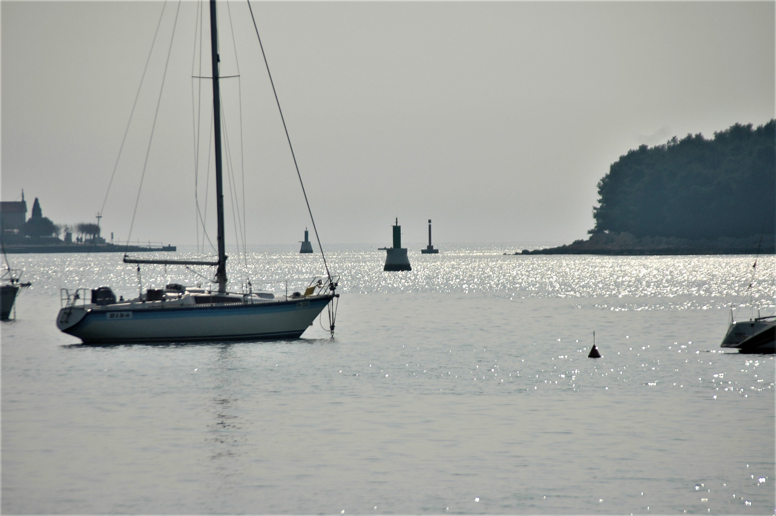
Many harbor entrance channels are marked by buoys and leading lights, plus beacons and lighthouses. Each harbor will have its own combination and remember that these marks are generally laid to aid the navigation of larger ships. Often there can be plenty of water for yachts outside the main shipping channel but tread cautiously here because these areas may not be surveyed regularly. If you stick to the buoyed channel as you come in, you will be safe. Remember that if you find yourself in a fairly long stretch of buoyed channel, it is a good idea to mark off the buoys on the chart as you pass them to keep a check on where you are in the channel.
Once you pick up the buoys marking the entrance channel you should have no problem following them, provided you are entering a reasonably sized port. However, your cruising plans may be more adventurous and take you to small, out of the way ports where there is no money for buoys to mark the channel. Here, all you may find is a series of stakes or withies to mark the channel. If you plan to enter harbors like this, it pays to get some local advice before entering and often a quick phone call will confirm what you can expect to find in the entrance. Local advice can also be useful in harbors with a bar that shifts and changes with the weather. Here the buoys marking the channel will be moved accordingly so it is useful to have up to date information on their location before entering.
There are two schools of thought regarding tides when entering harbors: there are those that maintain that entering on the flood tide is best because if you touch bottom, the rising tide will lift the boat and enable you to carry on; others say that entering on the ebb tide is better because you are stemming the tide and can easily stop and hold your position if you want to work out where to go next. It is not easy to say which side has the strongest argument; you must make the decision according to the circumstances. You do not want to be navigating by feel if you can avoid it and whilst a sailboat keel will not normally suffer damage by touching a soft bottom, the propellers may be the lowest part on a motor cruiser and so could be vulnerable if you ground. You will not want to push your luck to this sort of limit and certainly not if there are rocks around.
Don’t be put off by all these cautions, most harbor entrances are straightforward and designed to make navigation easy as long as you have the right charts to show the details. Remember that you can stop and work things out if uncertainties arise on the way in, although on a strong flood tide this may be trickier. There are usually many clues around to help guide you in and you always have the GPS position on the electronic chart as a guide and the echo sounder as confirmation. However, whilst it can be relatively easy to get confirmation of your position, it can be worrying if the different sources of information do not concur and you receive conflicting information. In this situation, my advice would be to rely on the visual information rather than the electronic, although bear in mind that it is easy to make what you see fit into what you expected to see.
A final thing to apply caution to is the reliability of local information. If a crewmember assures you that they know the harbor well, take it with a pinch of salt and keep a careful eye on progress so you can take over if needed. After all, as the skipper, the responsibility for a safe entry is yours. Entering a strange harbor is likely to be one of the more critical parts of navigation so stay alert to all possibilities but remember that most harbors you encounter will be well marked and designed to make navigation straightforward, enabling you should be able to enter without any problems.