Help Save Nav Aids From USCG Ax
As noted in a previous article, the Coast Guard is on the verge of one of its biggest mistakes ever.
Rather, it is paramount that we send out to all of our constituents that we must individually, flood the inbox of [email protected] which is the email that the CG is using for receiving public comments. Please forward information out to your members/fellow boaters. The deadline for comments is June 13th.
Some points of emphasis for those submitting comments to: [email protected]
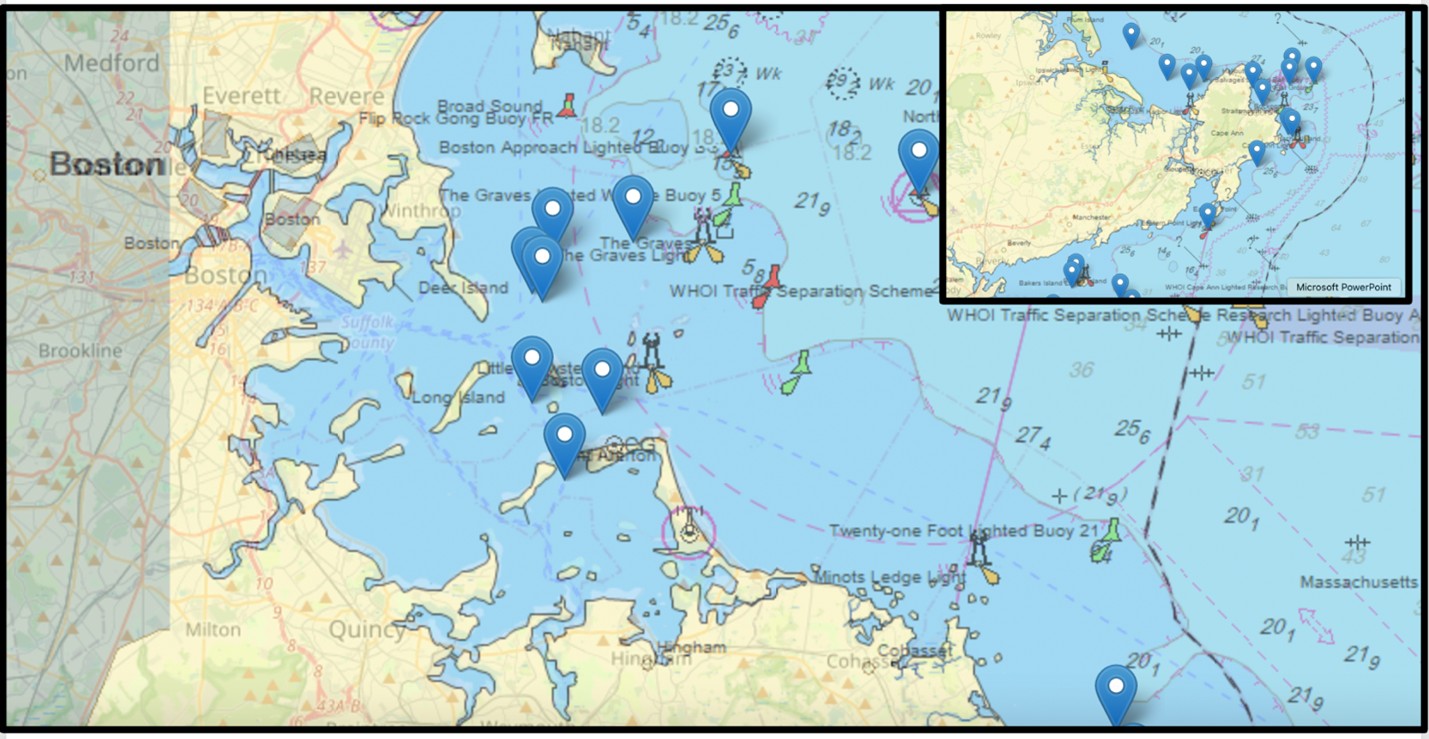
- In general, most of these navigational aids—proposed for removal—are crucial for safe maritime operations in the region. Safety is the #1 argument.
- That not all vessels have multi-function displays with gps, ais and radar. (Which is cited as one of the main reasons for removal, that they are not necessary due to technological advances.)
°Therefore, visual and audible aids to navigation are essential for safe navigation around the ledges and islands of Narragansett Bay
°If you sail or fish with a boat without one, please say so.
- That removal of channel markers will create far more user conflict and putting all mariners in further jeopardy of life-threatening situations.
- Be specific on the hazards that would be left unmarked:
°ie: “R12 and R12A (South-southwest and West of Rose Island): With the Rose Island Lighthouse designated as a private aid to navigation, R12 and R12A are the only federally maintained markers in this area. Removing R12A could lead boaters to cut between the bridge and the island, posing a serious safety risk due to an unmarked reef. The danger exists at both high and low tide and could result in potentially fatal accidents. Removing R12 will have the same result on the SW corner of the island where a large boulder resides approximately 150’ inside the bell and another 100’ from the island. It is less than 4’ of water over that boulder at low water.”
°Or: "Newton Rock Buoy GR “NR” (Off Beavertail, South Tip of Conanicut Island - Jamestown): This buoy marks the eastern edge of the West Passage traffic separation scheme and the western edge of the East Passage scheme. It also marks a dangerous reef about 200 yards northeast of the bell buoy (Newton Rock), between the buoy and the shoreline. With ocean swells building up near the south tip of the island, this visual and audible aid is crucial to prevent recreational boaters from becoming caught in breaking waves.
°Or: "Goat Island Lighted Buoy #3 (South of Goat Island in Newport Harbor): This fairway channel marker is essential for safe navigation in and out of Newport Harbor. Without it, boaters entering from the north would only have two visual aids. Traveling directly from C1 to Buoy #7 would result in many boats running aground in 2–4 feet of water. Buoy #3 is critical for boaters navigating without electronic aids."
- Please do not use the arguments:
°That a buoy is a great turning mark for our weeknight racing series.
°"The sound of the bell buoys bring me back to a simpler time”. (That was actually cited by the CG as a real comment!!)
The bottom line is that the CG will likely be removing a great number of AtN and this is our one shot to argue for the CG’s support of these essential buoys. Email early and often. [email protected]
Thank you all, and please reach out with any ideas or comments. (You will see this on our social media coming out soon.)