Mapping the World’s Seabed by 2030
The UK’s Plymouth University has joined Seabed 2030, a project with a mission to chart every square metre of the world’s subsea surface.
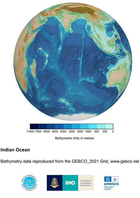
There is a saying that we know more about outer space than we do about our own ocean floors, but that is set to change thanks to Seabed 2030. In a bid to find out what literally lies at the bottom of the sea, at depths of up to 11,000m, the Nippon Foundation-GEBCO has set itself a mission to find out. Plymouth University, which specializes in oceanographic courses and research, has formed a new partnership with the Nippon Foundation to take an active role in the project.
In a statement, the university says: “The University will actively contribute to Seabed 2030’s goal of inspiring a complete map of the world’s ocean through various initiatives, including the contribution of new bathymetric data and satellite-derived bathymetry. The partnership will also see advances in research and innovation in the fields of hydrography, autonomy and remote sensing to improve seafloor mapping efforts. Additionally, it supports the University’s commitment to training the next generation of hydrographers and seafloor mappers through its esteemed Ocean Exploration and Surveying and Hydrography programmes.”
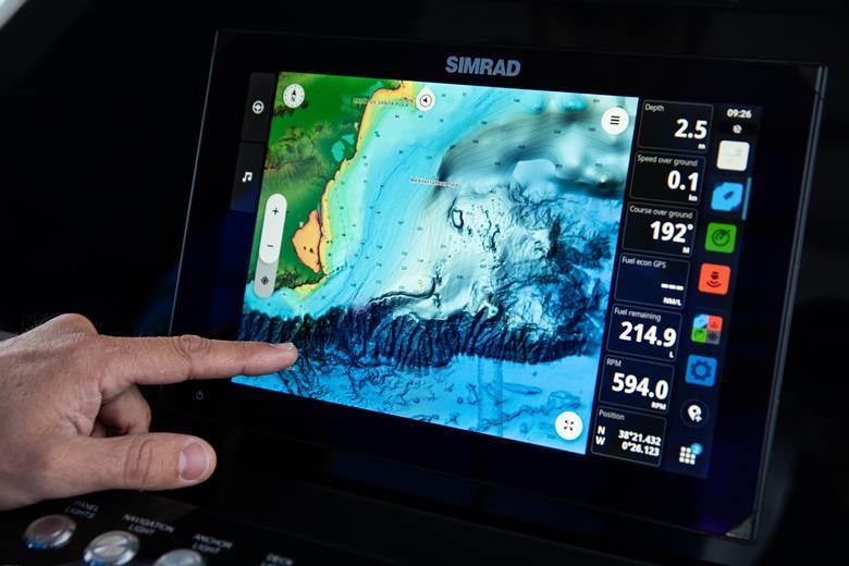
This data will greatly help the maritime sector by charting some of the lesser known regions, especially those that have recently opened up, such as the North West passage. Highly accurate sonar imaging from leading electronics OEMs, which have already provided boat owners with remarkably clear, 3D images of the seabed in shallower coastal regions, but this new survey will probe where technology has so far failed to build a complete picture. The mind boggles as to what the deep sea scans will find down there.
In addition to the scientific research, the University of Plymouth is also working on related outreach projects such as Girls into Ocean Science, launched in October 2025.
The University states “This initiative aims to increase female participation in the physical sciences by engaging young women aged between 14-17 in hands-on ocean science activities, including seafloor mapping and ocean exploration.”
During the project, all data collected and shared with the Seabed 2030 project will be included in the free and publicly available GEBCO (General Bathymetric Chart of the Oceans) global grid. The organizers say this will contribute to the broader goal of enhancing global ocean knowledge and stewardship.