Mile 0: Elizabeth River

For southbound boats, the first 200-mile-long stretch of the Atlantic Intracoastal Waterway (AICW) between Mile Marker 0 at Norfolk and Mile Marker 205 at Morehead City/Beaufort, NC, presents a diverse array of navigational challenges while offering equally diverse natural beauty, fascinating sights, side trips and ports of call. The route passes through a lock (or two depending on the route you choose), canals, land cuts and open-water sounds along the way. Some of the open water offers the challenges associated with long fetches, shallow depths and choppy wave action when the wind kicks up. Sailors will consider minimizing motoring time by sailing from sound to sound.
In much, but not all of North Carolina (and sporadically in other ICW states), the Army Corps of Engineers has placed signs just outside the channel marking each 5-statute mile increment along the route. Note that the numbers on these signs do not necessarily correspond to the "Mile Markers" on the charts. Some are the same, some are different by a hundred yards or so, and some by as much as 1 mile. If you are using the actual signs to determine your location in relation to a timed bridge or marina location, you may find yourself a lot closer or farther away than you thought. Use the charts for this information, but make sure you have the most current edition.
There are no aids to navigation in this area, and none are needed, as the water is deep to the shoreline. Four bridges cross this stretch: two bascule bridges, one with a 48-foot and one with a 4-foot closed vertical clearance; one fixed with a 65-foot vertical clearance; and one railroad swing bridge with a 6-foot vertical clearance. The bascule and swing bridges have restricted closures.
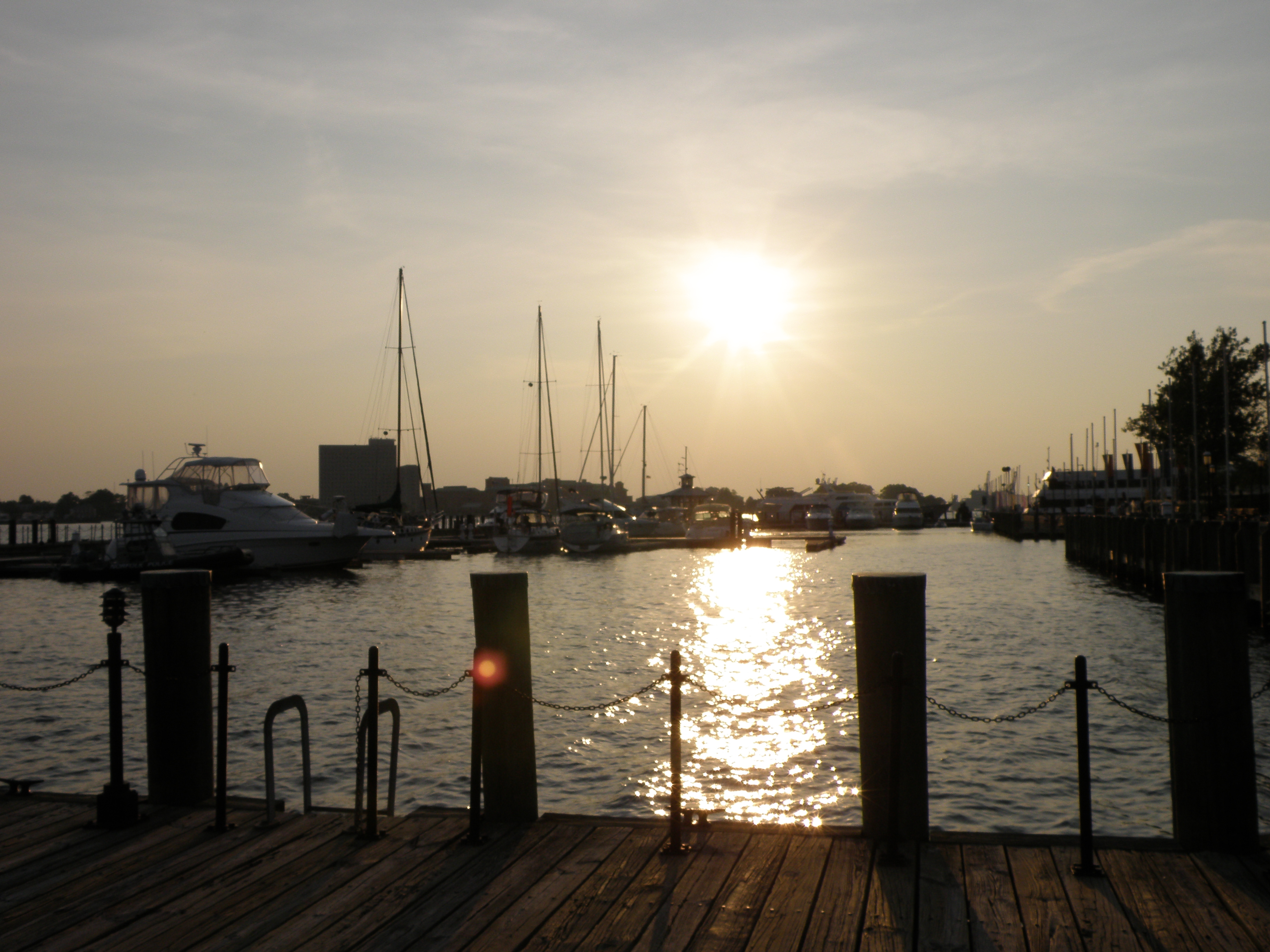
Beyond Mile 0, Town Point on the Norfolk side marks the mouth of the Elizabeth River's Eastern Branch. The Eastern Branch of the Elizabeth River curves around Norfolk's Waterside development to port, while the Southern Branch (AICW) bears to starboard around Portsmouth. Commercial traffic can be heavy in this area, with tugs passing through and large commercial vessels maneuvering into and out of the docks. It is a good idea to monitor VHF Channel 13 and to call any tug or other vessel whose intentions are unclear. Sometimes, though, listening is enough. Always yield to commercial traffic in this area.
You will traverse five bridges–three railroad bridges that are open unless there is an approaching train, one fixed bridge with a vertical clearance of 145 feet and the Gilmerton Lift Bridge with a closed height of 35 feet. The Gilmerton Bridge opens on signal except Monday through Friday during rush hours and when the adjacent railroad bridge is closed for an approaching train.
![]()
Cruising Options: Two Routes into North Carolina
Those traveling south from Norfolk on the AICW must now choose between two routes into North Carolina: either the Dismal Swamp Canal or the Albemarle–Chesapeake Canal, also known as the Virginia Cut. Each has its advantages, but careful consideration must be given to this decision. Both routes are described in detail in the Mid-Atlantic edition of Waterway Guide available in our Ship Store.