Paper Charts Remain the Backup that Actually Works
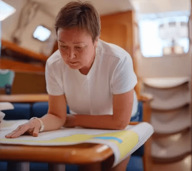
A lightning strike underway can wipe out every connected instrument on a boat in seconds. A chart plotter can lock up mid-channel. A navigation app can glitch, lose its GPS lock, or the device can go over the side. In any of these situations, a crew navigating solely by digital means can be left without a reliable position fix, often at the worst possible moment.
This is not a theoretical risk. It is a predictable failure mode in systems that depend on power, software, and connectivity, none of which are guaranteed underway. The case for paper charts is not sentimental. It is operational.
A current paper chart of your cruising area does not depend on electrical power, cellular signal, or software updates. It cannot freeze, crash, or require a subscription renewal. During a power failure or electronics casualty, it shows depth contours, channel markers, anchorages, and hazards in the exact form they need to be seen; legible, accurate, and immediately available. The skill required to use one effectively, taking a bearing and plotting a position by dead reckoning is not archaic seamanship. It is applied navigation.
Experienced passage makers carry paper charts for the same reason experienced pilots carry sectional. When everything else is unavailable the backup has to work.
Offline-capable apps provide a practical middle layer between paper and live digital navigation. There are numerous mobile applications available in the marketplace, including Navionics, Garmin ActiveCaptain, and Aqua Map. These apps offer full chart downloads to a device before departure. With a charged spare battery or power bank aboard navigation can continue through most failure scenarios. This combination covers a wide range of situations without depending on cellular or internet access while underway.
The layered approach most cruisers should use: a current paper chart or printed NOAA sectional for the cruising area, an offline-capable navigation app with charts already downloaded, a chart plotter with the latest charts loaded, and a power source independent of the boat's primary electrical system such as spare battery or power packs.
Waterway Guide's cruising guides pick up where the charts leave off. A paper chart shows you where the channels are and important landmarks, while the guides tell you what to expect when you get where you're going, which inlets need extra attention at low tide, where the holding is good, approaches that require close attention to depths and markers, and local knowledge. Find guides for your region at waterwayguide.com/ship-store.
NOAA charts for the U.S. coast are available free at nauticalcharts.noaa.gov. Print the sections relevant to your route or order physical charts for high-priority areas including inlets, anchorages, and approaches that require close attention to depths and channel markers. For ICW transients running from the Chesapeake to Florida, covering the full corridor in paper is a worthwhile investment before the season begins.
Redundancy in navigation is not a precaution reserved for long-distance voyagers. It should be standard equipment for anyone cruising beyond daytrip range of home.