Summer Thunderstorm Planning Starts at the Dock, Not at the Helm
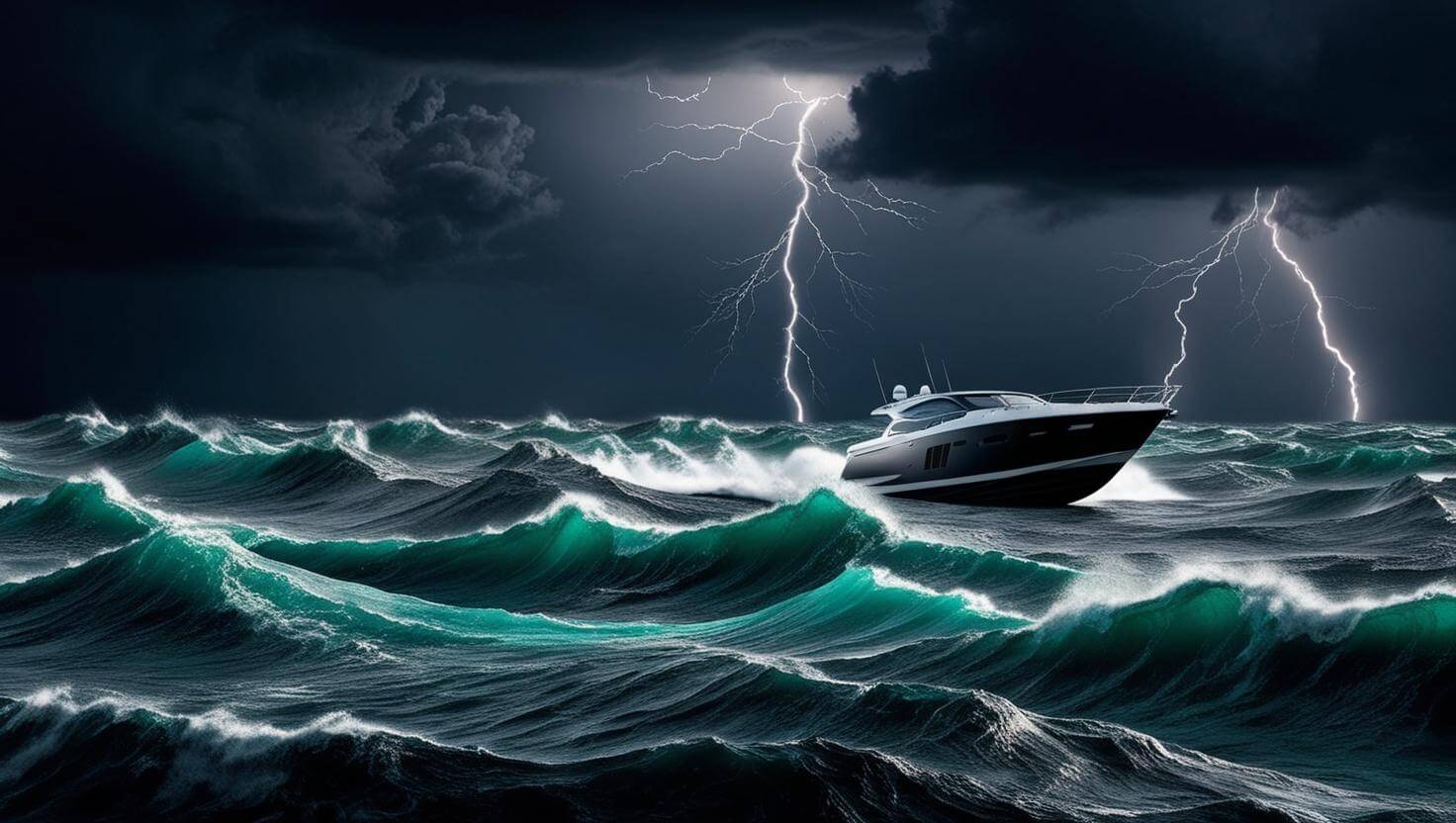
Summer convective cells build fast and move faster. On bays and inland lakes, chop develops in minutes once the wind picks up; on coastal and offshore routes, a cell that looks distant at noon can be overhead by early afternoon. Waiting until a storm is visible from the helm is waiting too long.
The decision that matters most is the one made before casting off.
Check the Forecast the Night Before
Convective storm season runs from late spring through early September across most cruising regions in the United States. The pattern is consistent; afternoon heating drives air upward, cloud towers develop, and cells can move quickly once they organize. Most summer storms reach peak intensity during afternoon hours, which means morning passages with early arrivals or returns carry substantially lower exposure.
The National Oceanic and Atmospheric Administration (NOAA) publishes zone-specific marine forecasts for coastal waters, bays, and major inland lakes. VHF weather broadcasts run continuously on WX channels and include Special Marine Warnings (SMW) for thunderstorms producing sustained winds of 34 knots or more. An SMW is a short-fuse alert; if one is issued while underway, the appropriate response is to seek shelter immediately and hold.
Set a Go/No-Go Rule Before the Morning Changes
The simplest version of a departure decision is a firm commitment; if thunderstorms appear in the forecast for the planned window, either shift to an early start that returns before afternoon, or wait for a cleaner day. A plan that starts with "unless it looks okay in the morning" is not a plan.
Waterway Guide Explorer at waterwayguide.com/explorer includes real-time weather overlays through the Weather dropdown; toggle between NOAA zone forecasts and Windy radar to check both the official forecast and the developing picture. Check it the night before and again at first light.
Before leaving the dock, talk through conditions with your crew. Setting a shared turnaround standard before the trip makes that conversation much easier when it matters. Waterway Guide covers a practical framework here: Weather Planning with the Crew Comfort Decision Wheel.
Read the Sky as You Go
Keep the VHF tuned to a WX broadcast channel in addition to Channel 16. Storm development is visible before lightning arrives; cloud towers building vertically and darkening at the base, a wind shift or sudden pickup from an unexpected direction, and a change along the western or northwestern horizon should all prompt a position check and a route decision.
The 30-30 rule is the standard field measure; if the gap between a lightning flash and the following thunder is 30 seconds or less, the storm is within six miles. Move immediately toward a marina or protected anchorage. Lightning has struck more than 10 miles from the visible edge of a cell; audible thunder is the boundary, not the storm's visible outline.
If the Storm Arrives First
If conditions tighten before shelter is reached, slow to minimum maneuvering speed, point the bow into the oncoming seas, and get crew below or to the vessel's centerline. Stay clear of metal hardware, standing rigging, and antennas. Shut down non-essential electronics; keep the VHF and chart plotter running.
That is the contingency. The objective is not to need it.
The Departure Decision
Most storm encounters on the water trace back to the same point; the forecast carried risk, the morning sky looked manageable, and the passage started anyway. The question was answered at the dock, not on the water.
Build the go/no-go condition into the departure plan. Check Waterway Guide Explorer before casting off. If the forecast is marginal, wait.