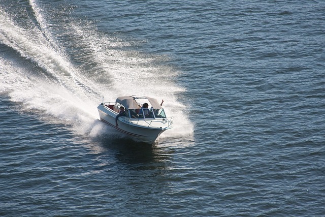
Why Do Boats & Planes Use Knots?
Hearing the question and wondering why boats and planes use knots became an endless search for a clear reason on why, and how in the world to understand it without all of the numbers!
Why Do Boats & Planes Use Knots? Boats & Planes calculate speed in knots because it is equal to one nautical mile. Nautical miles are used because they are equal to a specific distance measured around the Earth. Since the Earth is circular, the nautical mile allows for the curvature of the Earth and the distance that can be traveled in one minute.
If you have searched around for this and noticed that you end up watching a video or leaving the article confused. Read this easy to understand breakdown!
What’s The Difference Between a Mile, Kilometer, and Nautical Mile?
These are the 3 most common ways that distance is measured. In the United States, distance and speed is measured in miles. This system is called the imperial system or statute system.
In almost everywhere else in the world, kilometers are used. Which is called the metric system. Distance and speed is calculated using the metric system which is a little different than the imperial units measurement.
A mile is a little longer than a kilometer. One mile is 5,280 feet which is equal to about 1,609 meters or 1.6 kilometers. Which is why when Americans go to other countries and drive around. It is odd for them to see 120km on the speedometer of the car!
Now a nautical mile is a completely different thing all together. A nautical mile is a measurement that is based on the circumference of the Earth. To really get it, we will have to understand a little more about Longitude and Latitude.
For now though, just know that a nautical mile is “one minute” of latitude.

Calculating Speed
Calculating the speed that you are traveling is usually based per hour. It’s pretty common to understand that 20 mph means that you will travel 20 miles in one hour, if you are going 20 mph.
The same goes for the kilometer. Traveling 20 kmh means you will travel 20 kilometers in one hour, if you are going 20 kmh.
Nautical miles, on the other hand, is still based on the per hour system, but is calculated in knots.
Traveling one nautical mile means that your speed is one “knot” per hour. As time continues to go on. In the boating world, knots are starting to disappear with the advancement in marine electronics. As well as our laziness as boaters!
Most GPS systems and chartplotters allow the user to change the units which it displays. Allowing most people to select mph or kph. So they never really have to know the nautical mile system.
Sailers and airplane pilots on the other hand. Still use the knots system because of the navigation and precision of the system. Being based on the layout of a chart which has the longitude and latitude lines accross the map.
Allows for more accurate calculations and exact locations of where they are located. In case there is an emergency, whoever is coming to help them can find them more easily.
Remember The Difference Between Longitude & Latitude
Having exact locations for where a boat or plane full of people are, is extremely important! Making sure that their location can be pinpointed on a map can mean the difference between life and death.
If you look at your phone and bring up Google Maps, the GPS position of that phone will pinpoint exactly where you are on a map. Which is great when you have the phone, it has service, and the battery is fully charged!
When talking about locating a boat or a plane. The same GPS system is used with the GPS coordinates, but those coordinates are based off of the different numbers of longitude and latitude.
Since the Earth is a globe and the equator is the middle section of that globe. Everything goes off of that and the Prime Meridian which is the starting point for the numbers. The equator starts the latitude numbers off with 0.
When looking at a navigational chart, which is what is used in both aviation and seagoing vessels. The equator is 0 and then as you move up the chart from there the numbers go up. Then if you look below the equator, the numbers will be negative numbers.
The lines going up and down on the map are the longitude lines. They start with the prime meridian and then work their way around the circumference of the Earth until they get back to where they started.
This prime meridian mark is also where the beginning of the time zones start.
Thinking of the World as a Graph
These two starting points for our graph are the prime meridian and the equator. Knowing that the equator is our latitude and the prime meridian is the longitude. We know where the starting points are for all GPS coordinates.
Think about it like this, the equator is the horizontal line around the center of the graph. The word latitude is like ladder. Latitude, ladder, they both go up and down, or well, you can go up and down on the ladder!
So, knowing that all of the horizontal lines mark our latitude and the beginning is the equator. If you go North up the ladder each line is called a “degree” with the description of North. There are 90 degrees until we hit the north pole. So if you were on line 50, it would be 50 degrees North.
The same goes for the South, starting at 0 degrees for the equator. We work our way down the ladder of degrees until we hit 90 degrees South, or the south pole.
The vertical lines start at 0 at Greenwich England. From there they count 360 degrees going to the west until they come back around to England and the starting point of 0.
These lines cross each other making all kinds of boxes which give an exact location on the Earth. These locations, with their numbers are where we get the GPS coordinates.
Understanding A Nautical Mile Calculation
It isn’t really necessary to understand this completely in and out, but it would be good to know if you would like to study it out further. For the time here, we are more focused on why boats and planes use knots and Nautical miles.
Given that we understand the graphing of the Earth to get us the GPS coordinates. We need to know why Nautical miles are different than normal miles or kilometers.
They are different because of the curvature of the Earth. Since our graph of boxes will slightly bend a little bit as we get to either the North or South poles. There needs to be a correction for when we are traveling accross massive amounts of the Earth.
Since the Earth is more of an oval, there are larger sections of the graph when we are closer to the equator. The sections at the poles are smaller.
This is where it gets a little tricky and confusing for all of us. The introduction of the degrees is where we need to focus our attention. Since the Earth is 360 degrees from the starting longitude and going all the way around the Earth back to it.
We can break that down into a distance.
Counting the longitude lines around the Earth and dividing that by “360 degrees.” This is where we get the distance of 1 degree which is 6,080 feet. That was the original distance of a Nautical mile.
When we look at the same thing only with the latitude lines. We notice that the distance changes because the Earth is not a completely perfect circle. So, there is a correction where the distance at the poles is 6,110 feet and then at the equator it is 6,050 feet.
Seeing that there is a 60 foot difference between the two, when it is cut in half the distance is 6,080 feet. The math can get way more complicated than that, but for me and laymens terms on how I understand it. This is the way it looks to me!
Today they have it pinpointed down to 6,076 feet or 1.15 miles.
Where Did the Term “Knots” Come From?
So, when traveling through the air or on the sea, calculating your speed in knots means you are calculating the nautical miles you are going.
The term “knots” came from about the 16th and 17th century. Captains and sailors would use what is called common logging. Where they would take a line and tie knots in the line with the knots measured specifically apart from each other.
They would tie a piece of wood to the end of the rope and then leave the line coiled up on the back of the boat.
While watching an hourglass, which was about 30 seconds. They would let the peice of wood into the water and let it float behind the boat pulling the line out.
When the hourglass had ran its course, they would pull the wood in and count the knots that had been pulled out. Giving them the speed at which they were traveling.
Whether it be 2, 3, 4, or however many knots were pulled out, the term has stuck since then and is still used among pilots and captains all over the world!