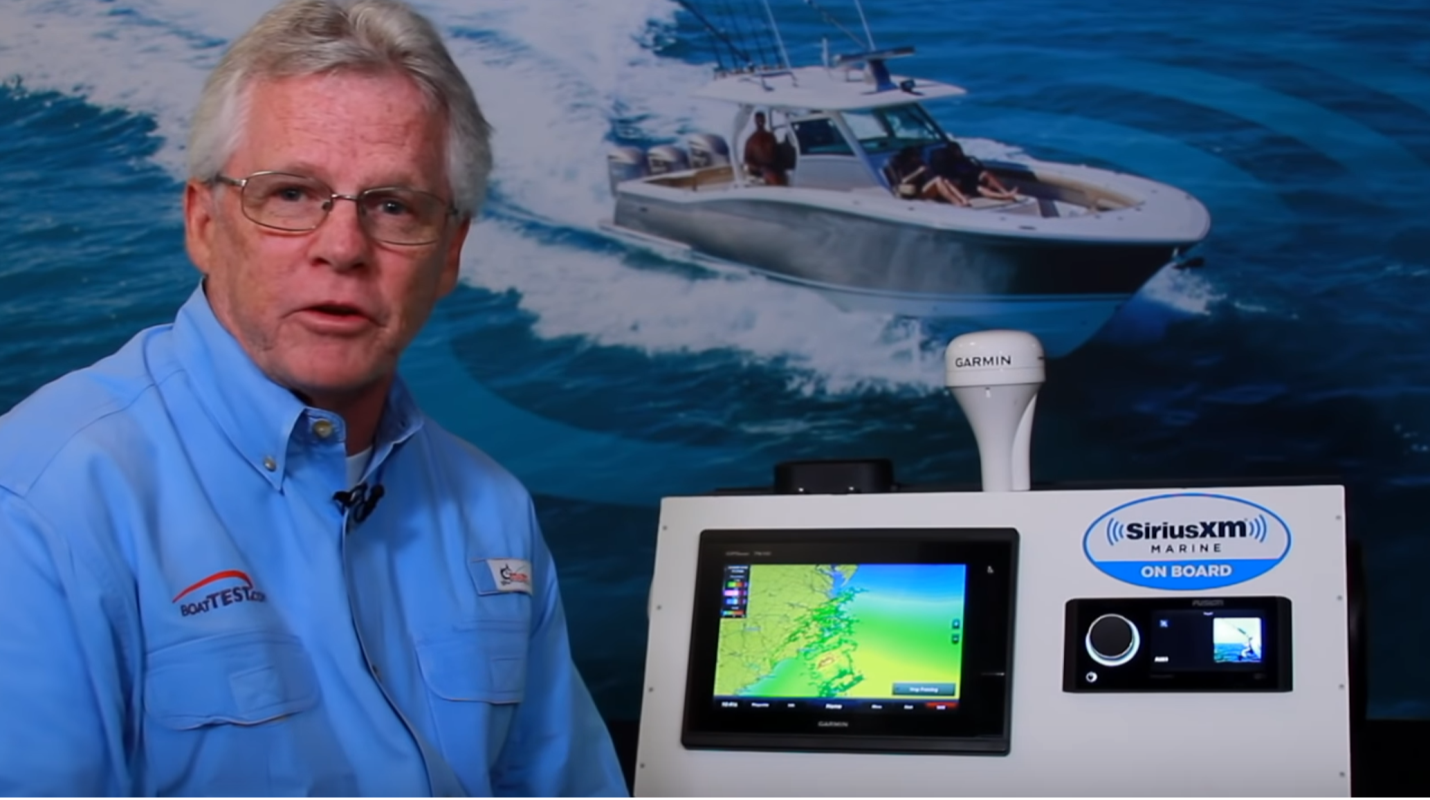
SiriusXM Fish Mapping
Fish Mapping is SiriusXM Marine's most comprehensive package that delivers fishing data and weather service to your boat's display. Serious anglers use every advantage available and SiriusXM marks the spots where bait fish gather and game fish hunt.

Brief Summary
SiriusXM Marine is a satellite-based service providing weather and fish information available by monthly subscription, providing in-depth, detailed observations and forecasts of conditions both inshore and offshore, updated regularly throughout the day to give the most up-to-date and accurate information available. It’s available across the continental United States, southern Canada and coastal regions, up to 150 NM offshore. It also covers Cuba and most of Mexico.
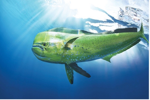
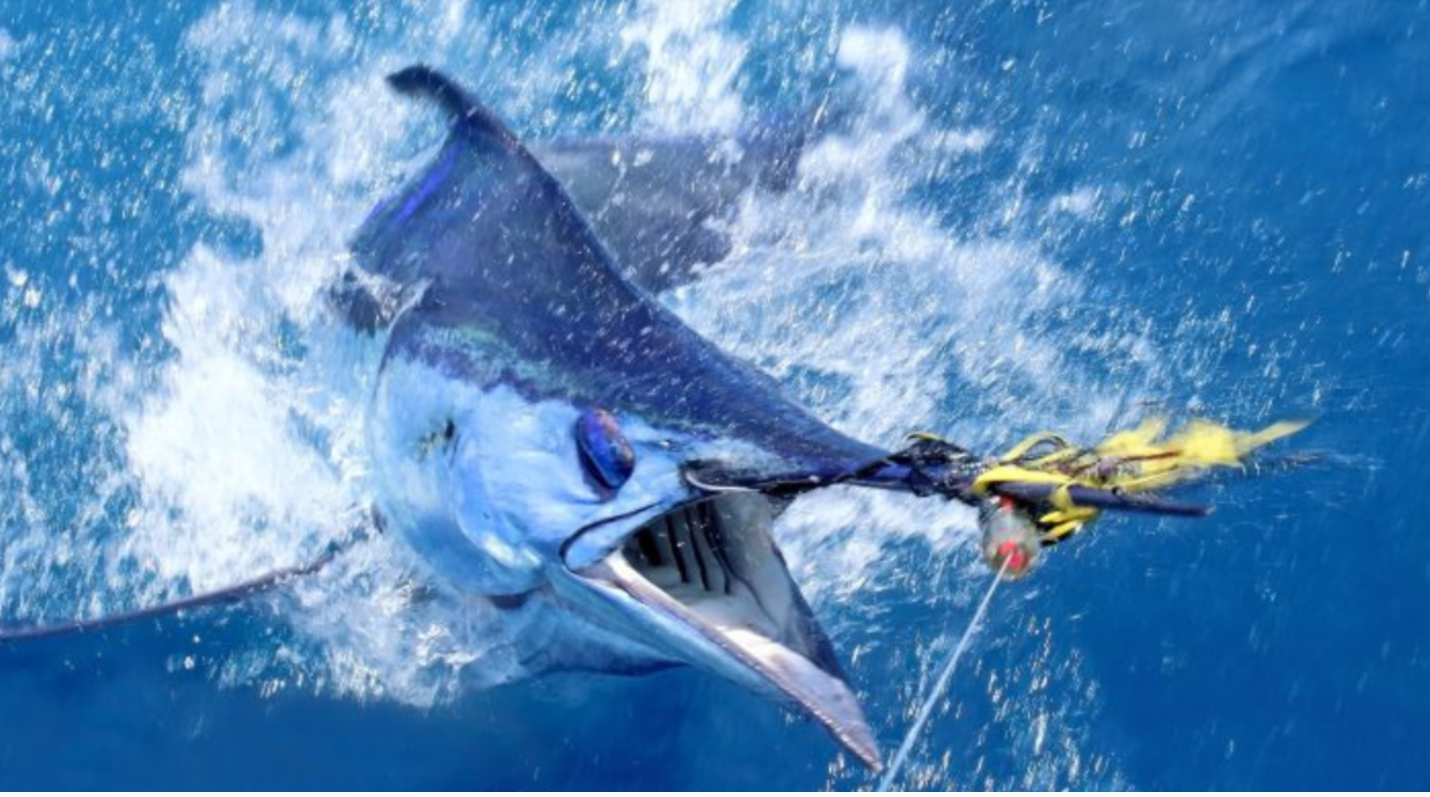
The Fish Mapping plan adds amazing satellite-based data to locate high-success areas for bluewater trolling and live baiting for billfish, tuna and other pelagic species.
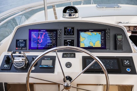
SiriusXM Marine is compatible with Garmin, Furuno, Raymarine and Simrad MFDs. It is not cell phone dependent.
Major Features
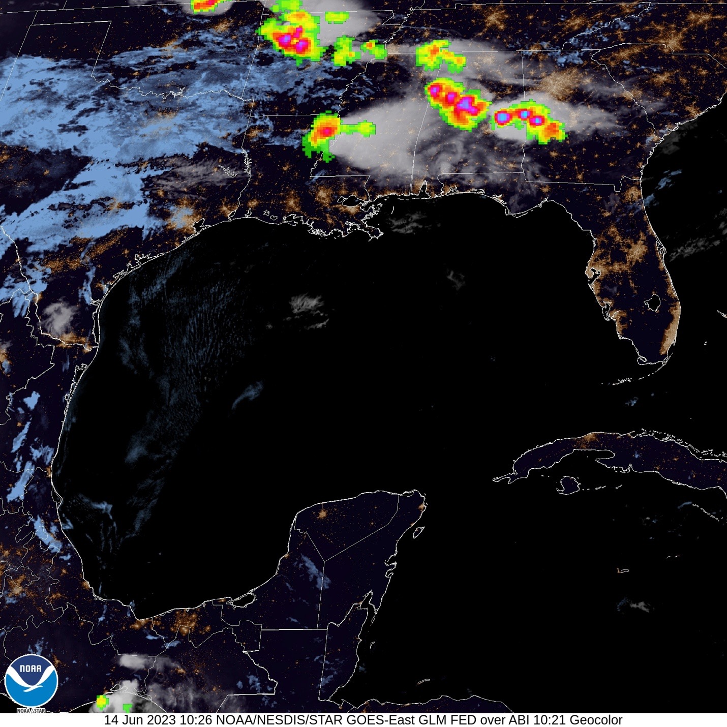
Timely Weather Information
The weather reporting feature of SiriusXM Marine puts all the latest satellite-based weather information right on your console multi-function display, available by tapping a few virtual buttons.
Key Weather Features
- Weather info readily available on MFDs
- Most current weather/lightning info available
- Both Observed and Forecast weather instantly available on screen
- Satellite-based info available up to 150 nautical miles offshore
- Wind speed and direction instantly available
- Wave height and period instantly available for coverage zone
Key Fish Mapping Features
- Find Your Target Species Quickly
- Find Floating Weed Lines
- View Sea Surface Altimetry
- See Water Temperature Contours
- View 30 M Water Temperatures
- See plankton concentrations
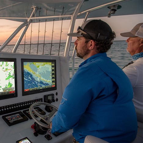
The SiriusXM Marine Weather and Fish Mapping service is a highly useful, easy-to-operate system that allows receiving up-to-the-minute satellite information on your boat’s multi-function displays, putting the data at your fingertips in a large, easy-to-view format.
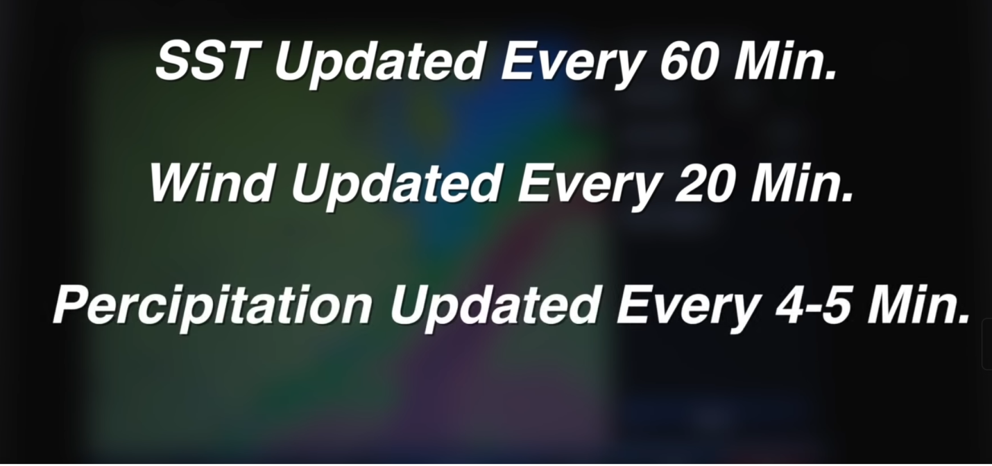
Weather Data
SiriusXM Marine Weather users can call up marine weather for their exact location, as well as for offshore locations they intend to visit on any given day, right on their MFD at the touch of a few virtual buttons.
A wind-speed button shows wind direction and speed, and the highs and lows where the wind is coming from or running to. And you can look at the forecast for the future—the weekend perhaps.
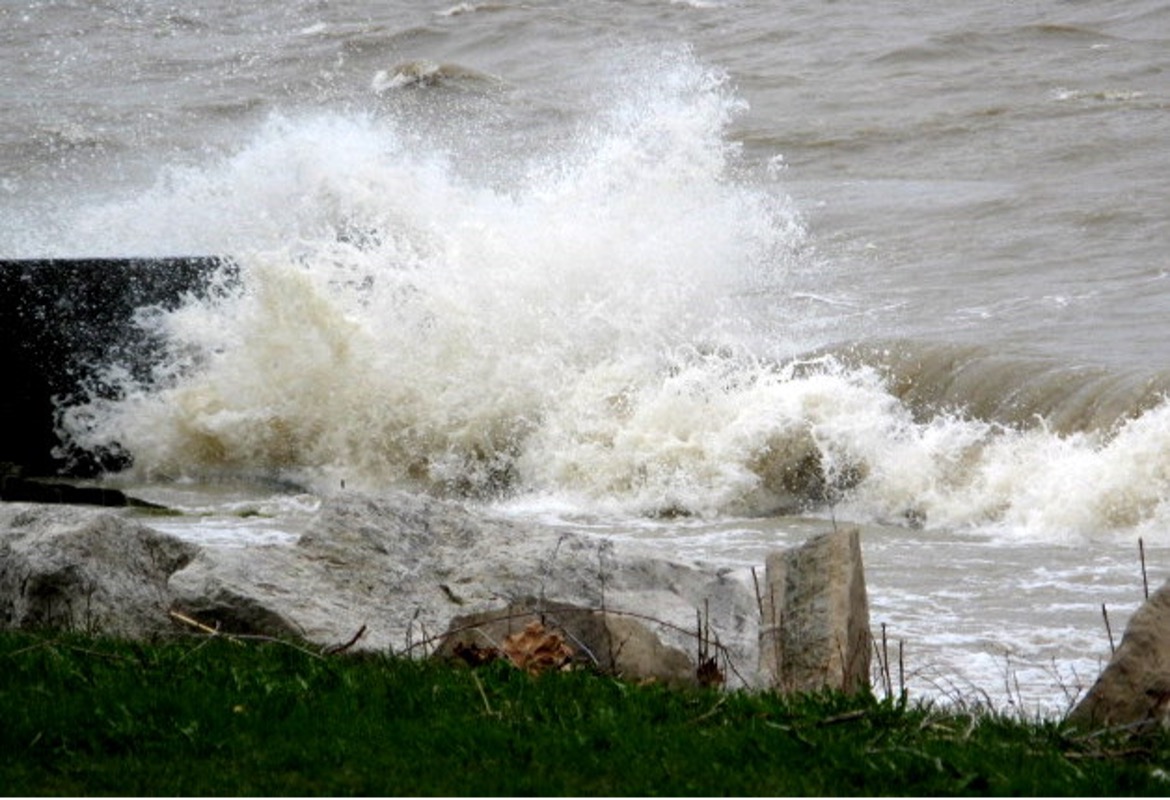
Sea Conditions
Wave heights are also included. Not only the heights and the direction the waves moving are included, but also their “period” or frequency, a good indication of how rough or smooth the water is likely to be at a given location offshore or inshore.
Specific buoys and weather stations can be called up for the immediate readings of wind and waves at those locations.
Tap the screen and you’ll see the most localized forecast for that specific area of the coast or offshore. Separate packages are available for inland waters only and for coastal/offshore waters.
Fish Mapping Features

SiriusXM Marine's Fish Mapping offers a service that combines all the oceanographic conditions that have been shown to attract specific types of gamefish to simplify the fish-finding process.
Go into the menu and tap “Billfish” and all the areas within the zone you set where prime conditions of water temperature, currents, weed lines and upwellings are right for Billfish will be displayed. Tap “Bluefins” and similarly, conditions best for the giant tuna are programmed in automatically and prime spots are highlighted.
Of course, many seasoned skippers prefer to make their own calculations on where fishing will be best, and the separate parameters can also be viewed with the system.
The recommended areas are overlaid on the chart and can be viewed in combination with any of the other Fish Mapping features. The information is updated twice per week, on Tuesday and Friday mornings.
What Fish Mapping Shows
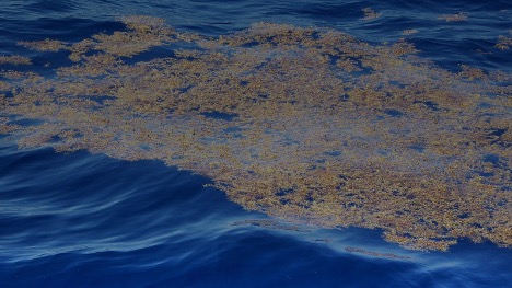
- Floating Weed Lines. Floating algae/plants provide nutrients and cover, creating habitats for bait fish, shrimp, etc., and attract larger, predatory game fish. Weed lines drift and shift over time, so they can be hard to locate. Use this feature to help find where weed lines have been sighted recently, or are most likely to be forming — to help you find game fish.
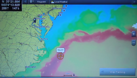
- Sea Surface Altimetry. View locations where the sea surface height is different than the surrounding area. The anomalies in the sea height show where fronts, eddies, upwellings and downwellings are located. This information can help identify convergence zones including nutrient-rich water that attracts bait fish and game fish.
- It also identifies "downwelling" areas to avoid, which are nutrient poor areas and don't support favorable fishing conditions.
- Water Temperature Contour Lines. Simplified contour lines quickly show the water temperatures in any selected area. Use these contours to help locate target species based on their preferred temperature range. Areas with notable water temperature changes are sometime an indication of strong current flows, which often means good fishing.
- 30 M Subsurface Sea Temperature. With contour lines for the water temperature 30 meters down, it’s easier to find subsurface roamers like bluefin tuna and wahoo.
- Plankton Concentration Contours. Areas with lots of plankton often have lots of baitfish. The contours where these zones meet other desirable conditions can be hotspots.

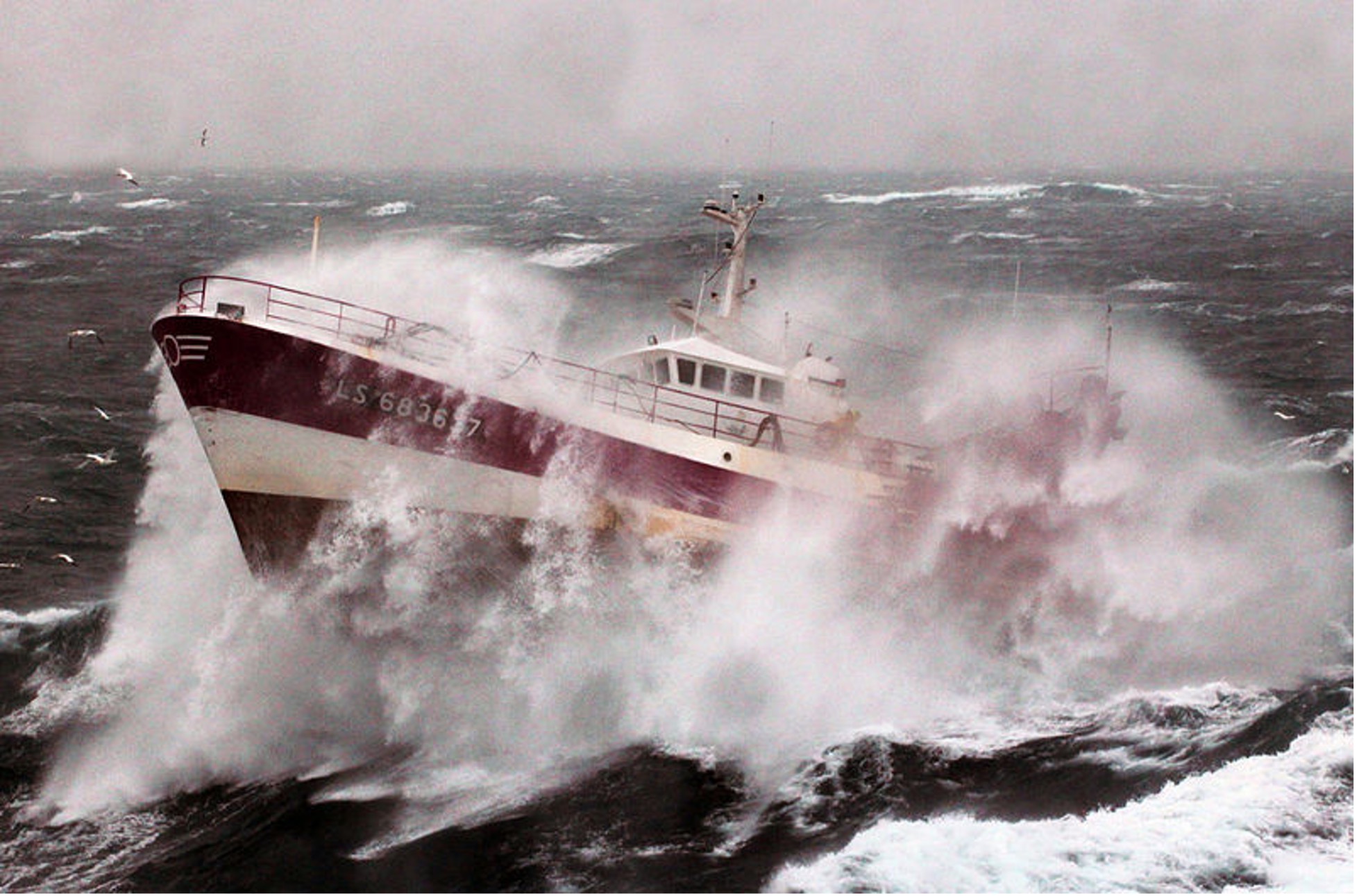
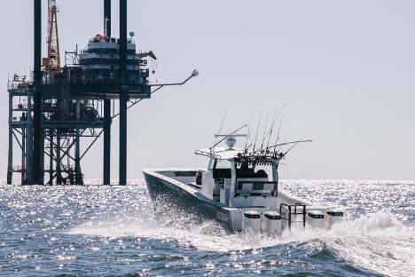
Why Offshore Anglers Need Satellite Data
Time, distance, fuel range and fuel costs are always part of the equation when anglers and charter skippers plan a trip offshore. It often takes hours to get to prime fishing waters, and taking a direct route to the most productive areas is essential to maximize time with baits in front of gamefish.
Missing a prime area by even a half-mile can be the difference between success and failure.
And every trip is a crap shoot without the type of accurate and timely information only satellite feeds can provide.
Satellite Data Saves Cash
In fact, the capability to run directly to a high-success area can save enough money in a single trip to pay for a satellite data service many times over. At 1 mpg, a common fuel consumption for multi-outboard offshore fishing boats, running 25 miles to an unproductive spot means 25 gallons times $5 at the fuel pump — $125 wasted.
Sirius XM Marine's Fish Mapping, which includes all their weather information and eight dedicated fishing features, cost just $109.99 a month, so the cost is made up if the captain avoids just one unproductive detour like this.
And for anglers who stay out multiple days in boats with overnight capabilities, the changing conditions can be followed precisely—by tomorrow morning, the fish likely won’t be where they were today.
It also allows finding the clear blue water and the edges, the altimetry or upwellings/down-wellings, current flow and edges where currents meet, where there are frequently weedlines.
Anglers' fish structure or bottom changes and where there is structure and also a current or temperature break, that’s a high success area.
No More Airplane Surveys

Tournament anglers who used to hire airplanes to fly over the fishing areas to visually pick out rips, weed lines and color changes no longer have that investment of time and money. Satellite data is always on call, immediate and up to date, and much more comprehensive than anything a small plane pilot can bring home.
Seasonal Changes
There’s frequently a sharp temperature break from inshore water to offshore water in late fall, winter and early spring and the break will form rips where weedlines appear—and gamefish feed. The system points out these areas right on your MFD.
Structure and Currents
Where an upwelling or a rip flows over a bottom feature—or around an oil rig—fishing can be particularly productive.
The same is true for Fish Attracting Devices or FADS, placed offshore for the benefit of recreational anglers.

Options to Consider
You can subscribe for only as much satellite service as you actually need thanks to multiple plans available from Sirius XM.
Non-anglers save money by opting for the weather service only.
The Inland monthly service is just $17.99 per month, covering all areas of the U.S. and Canada that are not on the coast. The service includes detailed weather radar and lightening detection.
The Coastal service is $37.99 including weather radar, lightning detection and wind and wave data.
Serious bluewater anglers will probably want more and lots more is available.
The Offshore plan is $64.99, including all of the above plus offshore sea surface temperatures — a big plus for big game anglers.
The maximum plan, Fish Mapping, is $109.99 and includes all of the offshore weather information plus 8 amazingly detailed fishing features.
You’ll probably want to add the Sirius XM Platinum plan for music, news and sports as well, allowing you to keep up with your favorite teams even while out fishing on weekends. The Platinum plan includes ad-free music from every genre and every era as well as complete coverage of football, basketball, baseball, hockey and other sports from every major professional team as well as NCAA teams. It’s free for three months, then just an added $18.99 per month. See details at https://www.siriusxm.com.
Observations
Considering the moderate cost of Sirius XM Marine Fish Mapping it’s likely that most anglers who regularly run offshore in pursuit of big gamefish can benefit from the service. The benefits not only include catching more fish, but also making better use of the available time on the water, and saving significantly on fuel use by running directly to high-success areas rather than trolling aimlessly in hopes of hitting a hotspot. And when you stop using your boat for the season in northern locations, you can suspend the subscription for up to six months per year, renewing in spring when you launch once again without paying an activation fee.